
DRC Launches Nationwide Airborne Geological Mapping Programme
- Africa News
 Olalekan Rasak
- 0
- 3 minutes read
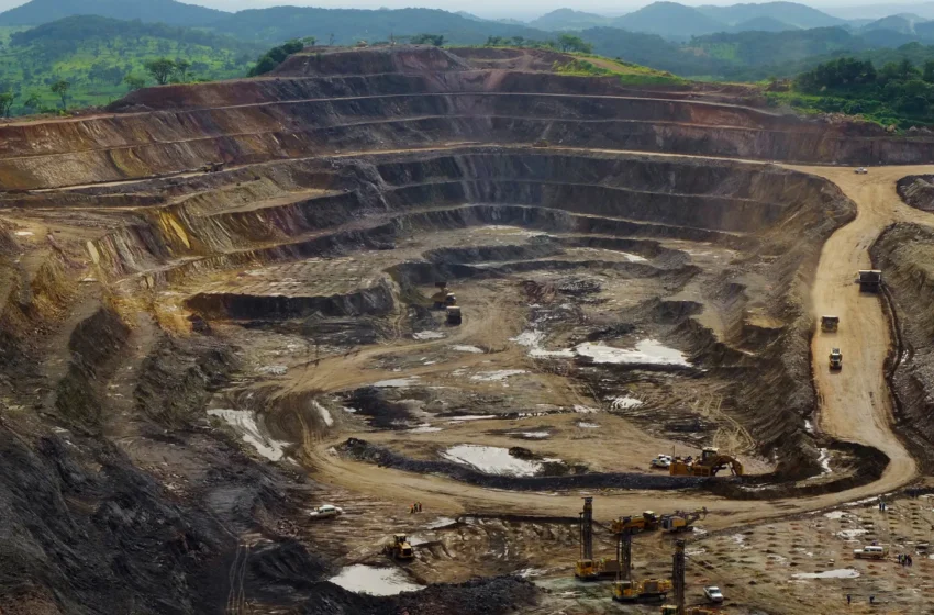
The Democratic Republic of Congo has launched a nationwide airborne geological mapping programme aimed at improving knowledge of its vast mineral reserves, reducing exploration risks and attracting investment to underexplored regions, the country’s geological agency said.
The Democratic Republic of Congo is the world’s largest cobalt producer and Africa’s top copper producer, but authorities say less than 10 percent of the country’s territory has been thoroughly explored.
The government has been tightening its control over the mining sector as it seeks a larger share of revenues from existing operations and greater control over geological information that could support future discoveries.
The mapping project, known as PC2G-RDC, will use high-resolution airborne geophysical surveys to improve geological knowledge of the country’s subsurface, identify areas with mineral potential and expand scientific understanding of its resources, the National Geological Service of the Congo (SGNC) said in a statement on Monday.
SGNC is implementing the programme with technical support from Spanish geophysics firm Xcalibur.
The project will focus on Kongo Central, Kwango, Kwilu and Greater Kasai, building on geological mapping already carried out in Greater Katanga.
Mines Minister Louis Watum Kabamba said at the launch that the programme would increase the country’s geoscientific coverage from 22.27 percent to 46.1 percent.
“The sovereignty does not begin when a mineral is extracted. It begins when the state knows its territory, owns its maps, controls its data, preserves its samples, develops its laboratories and trains the experts capable of interpreting that information,” SGNC Director General Raoul Wazenga Vitima said.
Wazenga said the country should not only be better mapped but should increasingly develop the capacity to carry out its own geological mapping.
Officials said the surveys would modernise existing datasets, help identify new prospective areas and strengthen the state’s capacity to plan and negotiate resource development.
SOURCE: Reuters
